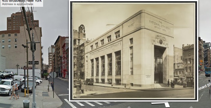
Google Maps is perhaps one of the most useful services which Google has rolled out; people have used Google Maps as the basis for all sorts of cool and interesting things. One such use is History Pin, a service through which people can upload photos from days of yore and ‘pin’ them onto a Google map of the region, indexed by the represented date. But the really cool thing about HistoryPin is that you can see the photo in context, inserted into the moden day street view.
Here’s how it works:
First, you enter a location and, if you want to, some key search terms, in the search box area. Then, using the timeline slider, you select the dates for which you’d like to see photos. In our example, we selected 1928-1929.
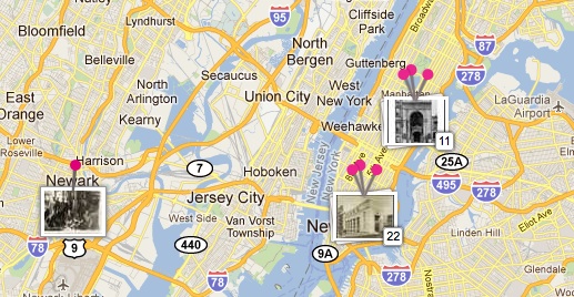
Your search results will appear as a map of the area you selected, with groups of photos ‘pinned’ to the map in areas roughly correlating to the area of the map depicted in the location of the photos:
The Internet Patrol is completely free, and reader-supported. Your tips via CashApp, Venmo, or Paypal are appreciated! Receipts will come from ISIPP.
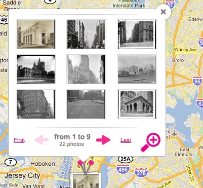
Click on the stack of photos that is pinned to the map, and it will expand to thumbnails of all of the images in the stack:
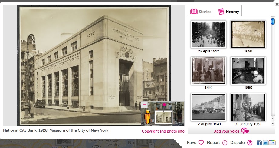
Pick any image:
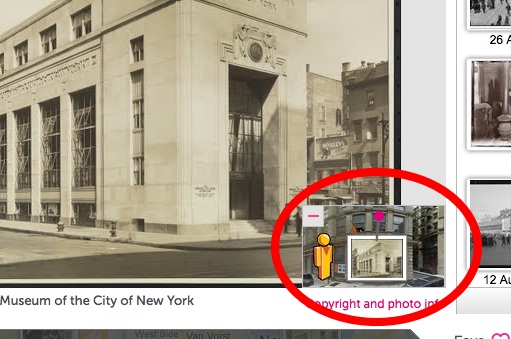
And click on the “street view” thumbnail:
…and check it out!:
Neat, huh?
You can [Page no longer available – we have linked to the archive.org version instead].
The Internet Patrol is completely free, and reader-supported. Your tips via CashApp, Venmo, or Paypal are appreciated! Receipts will come from ISIPP.


